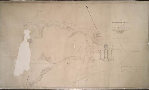
1856 Map of the University of Virginia with Water Works
Description:
Map of the University of Virginia and its vicinity surveyed and drawn by S. A. Richardson under the direction of Charles Ellet, Jr., October 1856, shows the approximate location of Water Works designed to be made from springs on Lewis and Observatory Mountains
Caption:
1856 Map of the University of Virginia with Water Works
Date Created:
1856
Creator:
Richardson, S.A.
References:
